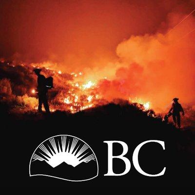
The BC Wildfire Service, Lytton First Nation, Skuppah Indian Band and the Cascades Forest District are conducting several prescribed burns in the Lytton area over the coming weeks. Weather permitting, these prescribed burns are scheduled between March 10 and April 11. Smoke and flames may be visible to the surrounding communities.
Lytton Creek Gully prescribed burn
BCWS staff will be assisting Lytton First Nation with the Lytton Creek Gully burn, located on Indian Reserve 17, east of Highway 1. The prescribed burn is approximately 2.3 hectares in size and is being conducted with the aim of fuel reduction and ecosystem restoration.
47 Field prescribed burn
BCWS staff will be assisting Lytton First Nation with the 47 Field prescribed burn, located on Ngwyu’uyemc 36 Indian Reserve in the Botanie Valley. The burn is approximately 38.8 hectares in size and is being conducted with the aim of surface fuel reduction and supports the traditional use of fire as a tool to improve the landscape.
Skuppah prescribed burn
BCWS staff will be assisting Skuppah Indian Band with a prescribed burn located three kilometres south of Lytton and west of Highway 1. This prescribed burn will be approximately 22 hectares in size. The intent of this prescribed burn is the reduction of surface fuels, ecosystem restoration and supports traditional objectives on Inklyuhkinatko Indian Reserve and Skuppah 4 Indian Reserve.
Loring Way prescribed burn
BCWS staff will be conducting this prescribed burn one kilometre east of Lytton along Highway 1. The prescribed burn is approximately 41 hectares in size and will be conducted with the goal of fuel reduction and ecosystem restoration.
